English
 Español
 简体中文
简体中文 العربية
 Deutsch
 Français
 Italiano
 Tiếng Việt
GIS and Maps
GIS and Maps
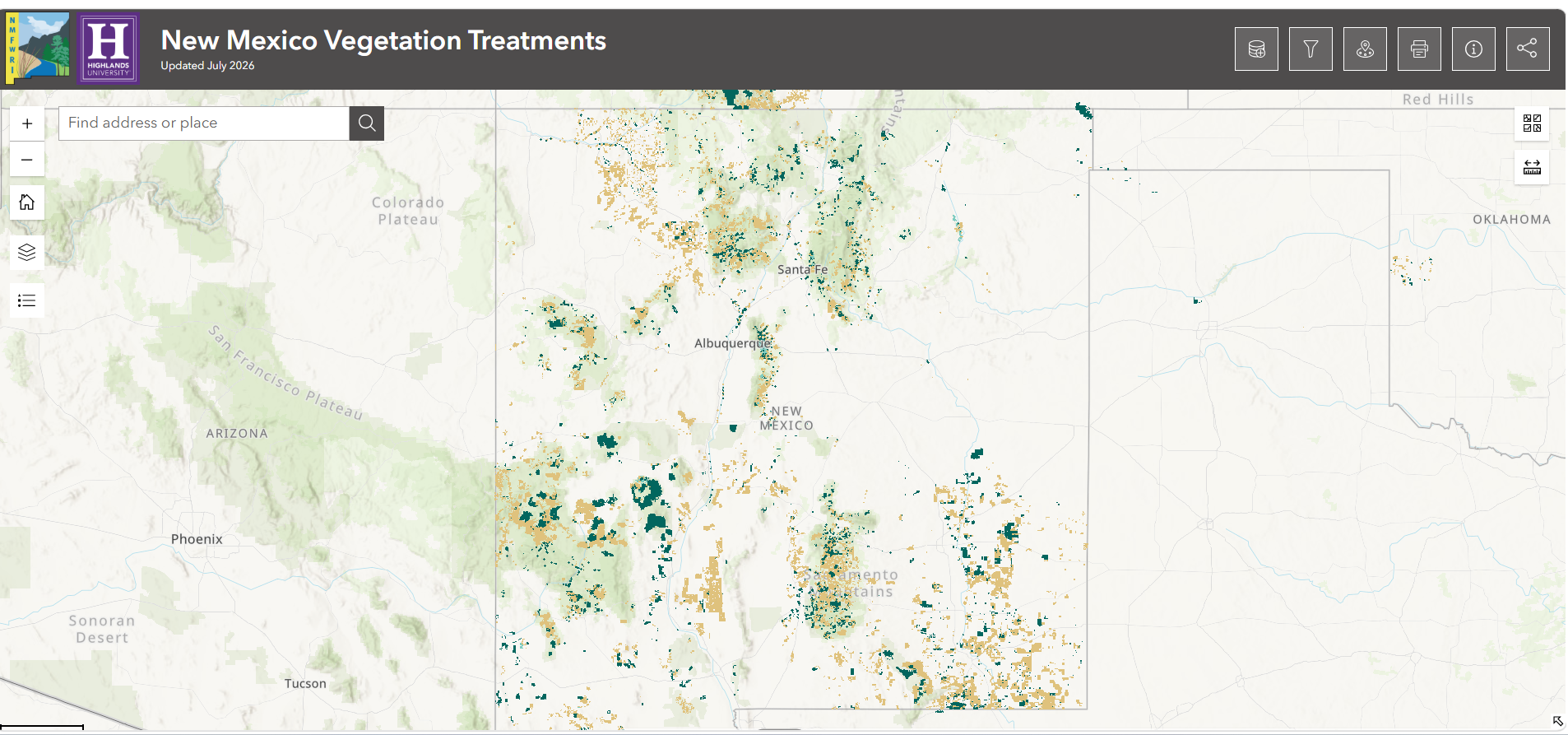
Forest Treatments
The Forestry Division and partners use many types of treatments to protect New Mexico’s forests from catastrophic wildfire and bark beetle infestation. These treatments include thinning, mastication, prescribed burn and many others.
Click on image below to open web mapping application and view forest treatments around the state of New Mexico. This application was developed by the New Mexico Forest and Watershed Restoration Institute (NMFWRI) who is a close partner with the New Mexico Forestry Division. The data used to create this application was also compiled by NMFWRI.
Wildfire History
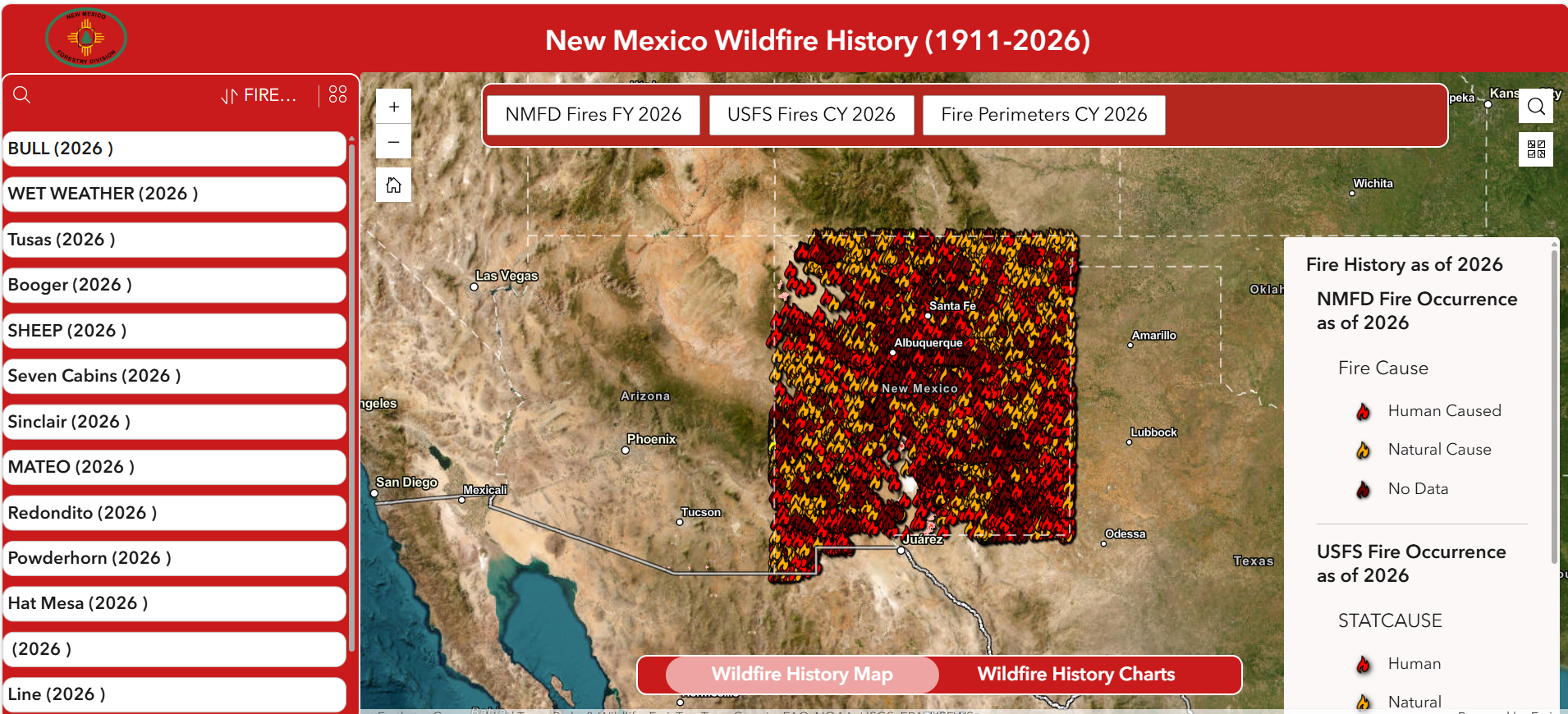
Wildfires pose a risk to our environment, human health and biodiversity. Following catastrophic wildfires flooding causes sediment to flow into our rivers and streams; polluting our drinking water and damaging riparian ecosystems. Wildfire smoke can negatively affect the respiratory system; so using personal protective equipment may be necessary when traveling outdoors during a wildfire.
Click on image below to open web mapping application and view wildfire history in New Mexico.
Forest Health
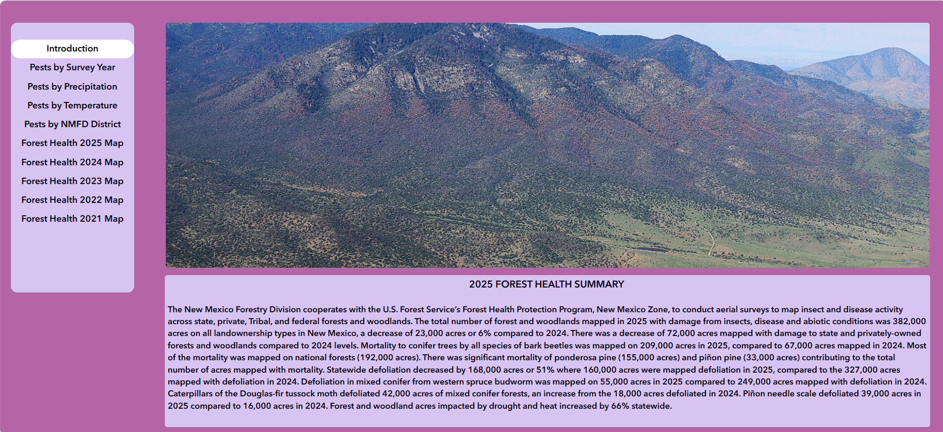
Forest insects, pathogens and diseases play important roles in the ecology of New Mexico’s forests. The disturbances they create help to recycle nutrients and thin overly dense stands. However, there are occasions when endemic insect and pathogen populations switch to an epidemic phase that can threaten entire forested landscapes. The state’s Forest Health Program provides technical and monetary assistance to help mitigate the risks and impacts of forest pests.
Click on image below to open web mapping application and view Forest Health in New Mexico.
Important Plant Areas
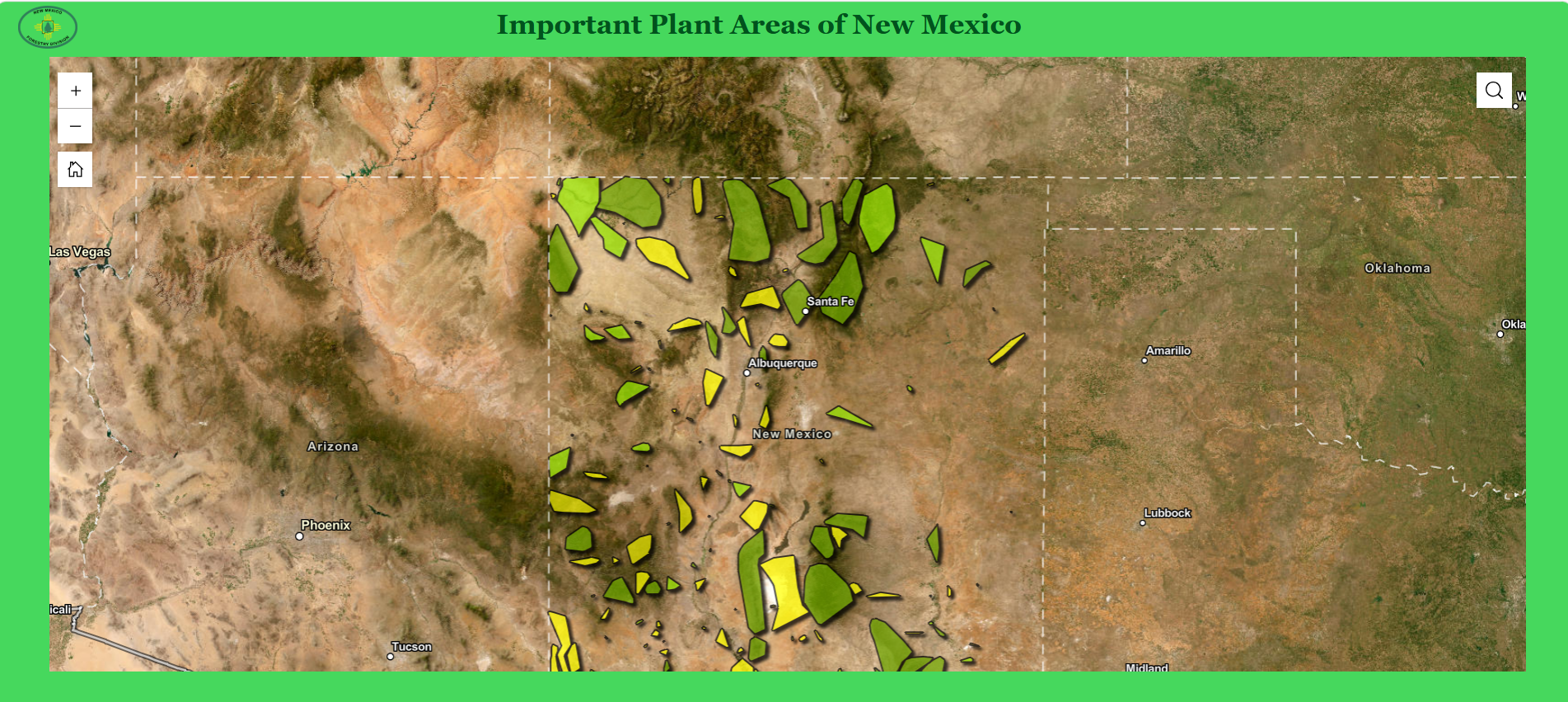
New Mexico has the fourth-highest plant diversity of any U.S. state, with more than 235 rare and endangered plant species and 109 species that occur nowhere else in the world. There are currently 45 state listed endangered plants. Rare and endangered plants are found in important plant areas throughout the state.
Click on image below to open web mapping application and view important plant areas in New Mexico.
Community Mitigation Maps
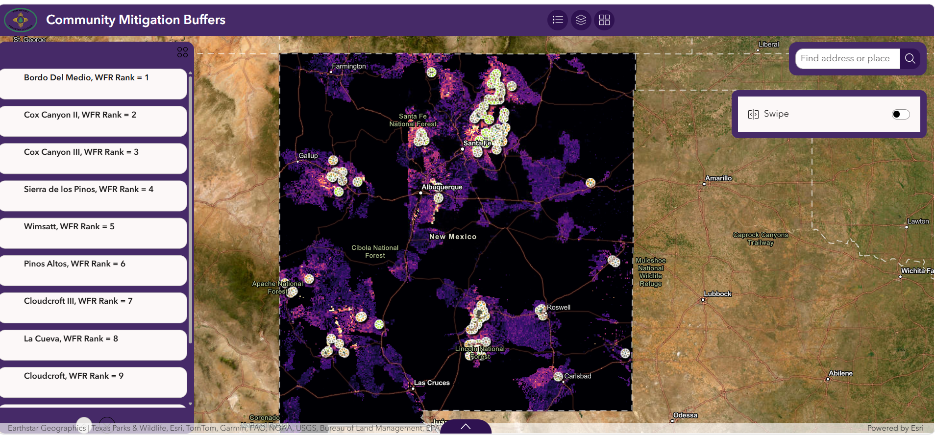
Protecting communities from wildfire is one of the highest priorities of the New Mexico Forestry Division. Wildfires (& after effects such as flooding) take lives, destroy homes & ruin local economies. Defensible Spaces & Home Hardening are two ways homeowners can protect themselves, their homes & their communities from wildfires. Creating Defensible spaces involves removing flammable fuels surrounding homes & communities using forestry practices such as fuel breaks, hand-thinning & mastication. Home Hardening involves building or retrofitting homes with fire resistant materials. Identifying & prioritizing communities at greatest risk to wildfires using the most advanced science available are critical to these efforts.
Click on image below to open web mapping application and view communities at greatest risk to wildfire & their associated Defensible Spaces & Home Hardening Classifications.